
Using Spatial ETL in a Multi-Vendor GIS Environment (Part 3)
This post addresses the use of database-centric architectures in large-scale enterprise GIS environments. ... Read More

Customer Samples
http://www.youtube.com/watch?v=zGvh73c4Kd4?&w=550 http://www.youtube.com/watch?v=DjMo_GN4pvQ?&w=550 http://www.youtube.com/watch?v=zGvh73c4Kd4?&w=550... Read More

Independence Power & Light Selects SBS Utility DataHub™ to Integrate Milsoft and GIS
Independence Power and Light (IPL) has spent 100 years delivering electricity to their customers with the lowest possible price and the highest levels of customer service.... Read More
Using Spatial ETL in a Multi-Vendor GIS Environment (Part 3)
This post addresses the use of database-centric architectures in large-scale enterprise GIS environments. ... Read More
Using Spatial ETL in a Multi-Vendor GIS Environment (Part 2)
As described in my previous post, GIS architectures are evolving from environments where all the functionality resides in the corporate GIS platform to new architectures where external applications are providing capabilities that have historically been performed within the corporate GIS. ... Read More
Populate an AUD model field from Drawing Properties
The question has come up, “how do I populate a custom field in an AUD model from the Drawing Properties. Specifically a Work Order number. This is easy to do, but not easy to figure out. AUD doesn’t always make... Read More

Setting up read-only access to SQL Server when using AutoCAD Utility Design Data Extraction Tools
To limit a user’s ability to write back mapping data with the AUD merge back function requires three actions: Set up Read-only user in SQL for general AUD users. Set up of the extraction mapping file and save it in... Read More
Using Spatial ETL in a Multi-Vendor GIS Environment (Part 1)
I was involved with my first GIS migration project in 1987. The client, a large electric utility, had a business requirement to merge three different organizations that were all using different geospatial systems. One system was home-grown, the other was... Read More

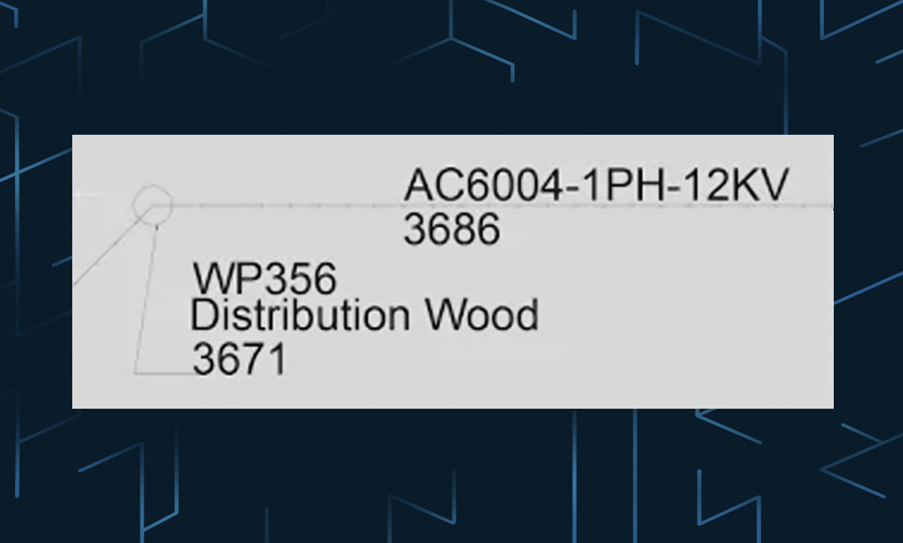
Using Block Attributes to Automatically Label AUD Features
This post describes how to set up and use attributes to automatically label AUD features. For example when you place a transformer in AUD it is automatically labeled with the kVa rating: The process is very simple and uses standard... Read More
Callout’s in AUD 2014!
Have you had a chance to look at AUD 2014? The Callout feature is really nice, very simple, works… and has leaders… and automatic update’s! It is simply a block with attributes; you can then define the attribute fields with... Read More